2022 ASPENDOS SURVEY
“The 2022 Survey in Aspendos and Its Territorium” was carried out between September 13-27, 2022, pursuant to the letter dated 18/08/2022 with reference no: YA010710-2022 from the Ministry of Culture and Tourism, General Directorate of Cultural Heritage and Museums.
The survey started on Tuesday, September 13th, with the participation of Tayfun Ok, an expert from the Directorate of Regional Council for the Conservation of Cultural Assets – Kocaeli Province, as the representative of the ministry. At the beginning of the research, visits and official meetings were held with local authorities.
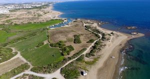
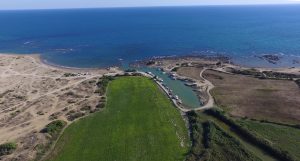
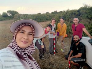
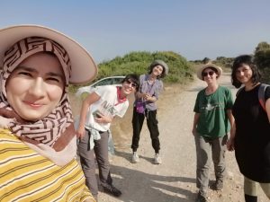
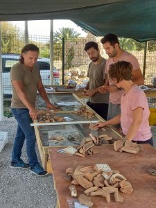
The survey was conducted in two areas called “Çanaklı Tepe” and “Aktaş Mevkii” by the local people, both within the borders of the Kısalar Neighbourhood of Manavgat District in Antalya. Çanaklı Tepe is located between the Sarısu and Karaöz streams, while Aktaş Mevkii is immediately to the east of the Karaöz stream. Based on the ceramic finds, a Potters’ Quarter dating to Late Antiquity was identified in these two areas.
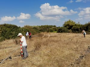
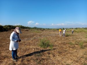
The documentation phase of the multidisciplinary survey project aimed to establish a virtual grid system by mapping the survey area employing Geographical Information Systems (GIS) and aerial photographs.
Before starting the field work, preliminary evaluations were made using a map to implement the grid system on the topography of the area which would be intensively surveyed. The location marked as Çanaklı Tepe on the 1/25000 map was determined as the starting point. This site falls within the scope of the research and was previously declared as a 1st Grade Archaeological Site.
A preliminary reconnaissance was carried out in the idle fields around the dirt road in the nearshore part of the abovementioned Çanaklı Tepe. Analysis of the distribution of the surface finds revealed a higher concentration of ceramic finds along the parts of the dirt road near the ancient harbour. It has been concluded that the pottery sherds unearthed during the road construction were discarded into the gap on the side forming a pile which resulted in this density. Considering this, the first grid of the survey measured 10×10 m and was designed on the east-west axis. Following the first grid and taking it as a starting point, control points were determined with the GNSS to ensure that the other grids would be accurately formed. Thus, the aim was to increase the grids symmetrically through upcoming measurement work that would be conducted on a sound basis.
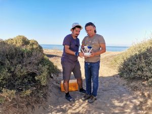
In accordance with the requirements of the intensive survey, cadastral measurements were obtained to establish the grid system. An area of 110 m on the north-south axis and 150 m on the east-west axis was measured by GNSS, and an orthophoto was created using a drone. Coordinates were taken from diagonally positioned points along the road, which runs parallel to the fields where the traces of the workshops were identified. These coordinates were transferred to the NETCAD environment.
Building remains to the north of Çanaklı Tepe were also examined and documented within the scope of the survey.
 |
 |
|
 |
 |
|
 |
 |
 |
 |
TEAM
| NAME | SURNAME | TITLE | POSITION |
| Mustafa | BİLGİN | Assistant Professor |
Head of Research |
| İnan | KOPÇUK | Research Assistant |
Delegation Member |
| Esen | KAYA | Assistant Professor | Delegation Member |
| Ümüt Emrah | KURT | Assistant Professor | Delegation Member |
| Talat | KOÇAK | Lecturer | Delegation Member |
| Mürşide | ÜLKER KÜÇÜK | PhD(c) | Delegation Member |
| Sevingül | BİLGİN KOPÇUK | PhD | Delegation Member |